
Security News
MCP Community Begins Work on Official MCP Metaregistry
The MCP community is launching an official registry to standardize AI tool discovery and let agents dynamically find and install MCP servers.
By Sarah Gooding - May 09, 2025
![]()
![]()


![]()


![]()
![]()

![]()
![]()
A Python package for interactive geospatial analysis and visualization with Google Earth Engine
Join our Discord server 👇
Acknowledgment: The geemap project is supported by the National Aeronautics and Space Administration (NASA) under Grant No. 80NSSC22K1742 issued through the Open Source Tools, Frameworks, and Libraries 2020 Program.
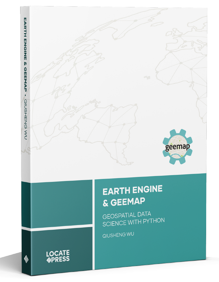
The book Earth Engine and Geemap: Geospatial Data Science with Python, written by Qiusheng Wu, has been published by Locate Press in July 2023. If you're interested in purchasing the book, please visit this URL: https://locatepress.com/book/gee.
Geemap is a Python package for interactive geospatial analysis and visualization with Google Earth Engine (GEE), which is a cloud computing platform with a multi-petabyte catalog of satellite imagery and geospatial datasets. During the past few years, GEE has become very popular in the geospatial community and it has empowered numerous environmental applications at local, regional, and global scales. GEE provides both JavaScript and Python APIs for making computational requests to the Earth Engine servers. Compared with the comprehensive documentation and interactive IDE (i.e., GEE JavaScript Code Editor) of the GEE JavaScript API, the GEE Python API has relatively little documentation and limited functionality for visualizing results interactively. The geemap Python package was created to fill this gap. It is built upon ipyleaflet and ipywidgets, and enables users to analyze and visualize Earth Engine datasets interactively within a Jupyter-based environment.
Geemap is intended for students and researchers, who would like to utilize the Python ecosystem of diverse libraries and tools to explore Google Earth Engine. It is also designed for existing GEE users who would like to transition from the GEE JavaScript API to Python API. The automated JavaScript-to-Python conversion module of the geemap package can greatly reduce the time needed to convert existing GEE JavaScripts to Python scripts and Jupyter notebooks.
For video tutorials and notebook examples, please visit the examples page. For complete documentation on geemap modules and methods, please visit the API Reference.
If you find geemap useful in your research, please consider citing the following papers to support my work. Thank you for your support.
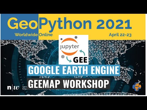
Check out the geemap workshop presented at the GeoPython Conference 2021. This workshop gives a comprehensive introduction to the key features of geemap.
Below is a partial list of features available for the geemap package. Please check the examples page for notebook examples, GIF animations, and video tutorials.
Map.addLayer(), Map.setCenter(), Map.centerObject(), Map.setOptions().FAQs
A Python package for interactive mapping using Google Earth Engine and ipyleaflet
We found that geemap demonstrated a healthy version release cadence and project activity because the last version was released less than a year ago. It has 3 open source maintainers collaborating on the project.
Did you know?

Socket for GitHub automatically highlights issues in each pull request and monitors the health of all your open source dependencies. Discover the contents of your packages and block harmful activity before you install or update your dependencies.
Security News
The MCP community is launching an official registry to standardize AI tool discovery and let agents dynamically find and install MCP servers.

Research
Security News
Socket uncovers an npm Trojan stealing crypto wallets and BullX credentials via obfuscated code and Telegram exfiltration.

Research
Security News
Malicious npm packages posing as developer tools target macOS Cursor IDE users, stealing credentials and modifying files to gain persistent backdoor access.