
Research
Security News
Malicious npm Packages Use Telegram to Exfiltrate BullX Credentials
Socket uncovers an npm Trojan stealing crypto wallets and BullX credentials via obfuscated code and Telegram exfiltration.
By Kush Pandya - May 08, 2025
|badgepypi| |badgedocs|
.. |badgepypi| image:: https://img.shields.io/pypi/v/rgeocoder.svg :target: https://pypi.python.org/pypi/rgeocoder :alt: PyPI version
.. |badgedocs| image:: https://img.shields.io/badge/docs-latest-blue :target: https://phil-v.github.io/rgeocoder/ :alt: Documentation
A lightweight offline reverse geocoder implemented in Rust with
pyo3 <https://github.com/PyO3/pyo3>_ Python bindings.
.. code-block:: sh
pip install rgeocoder
.. code-block:: python
>>> from rgeocoder import ReverseGeocoder
>>> rg = ReverseGeocoder()
>>> r = rg.nearest(41.891929, 12.511331)  # lat, lon
>>> print(r.name, r.cc)
'Rome IT'
>>> print(r.lat, r.lon)
41.89193 12.51133
Some locations include the first- and second-level administrative divisions:
.. code-block:: python
>>> print(r.admin1)
'Latium'
>>> print(r.admin2)
'Citta metropolitana di Roma Capitale'
See <http://download.geonames.org/export/dump/readme.txt>_ for more
information on the dataset.
MIT License_
.. _MIT License: LICENSE
Rust implementation of the algorithm originally based on code from
llambda/rust-reverse-geocoder <https://github.com/llambda/rust-reverse-geocoder>_.
Inspired by and meant to act as an alternative to
thampiman/reverse-geocoder <https://github.com/thampiman/reverse-geocoder>_.
FAQs
A lightweight offline reverse geocoder implemented in Rust.
We found that rgeocoder demonstrated a healthy version release cadence and project activity because the last version was released less than a year ago. It has 1 open source maintainer collaborating on the project.
Did you know?

Socket for GitHub automatically highlights issues in each pull request and monitors the health of all your open source dependencies. Discover the contents of your packages and block harmful activity before you install or update your dependencies.
Research
Security News
Socket uncovers an npm Trojan stealing crypto wallets and BullX credentials via obfuscated code and Telegram exfiltration.

Research
Security News
Malicious npm packages posing as developer tools target macOS Cursor IDE users, stealing credentials and modifying files to gain persistent backdoor access.
Security News
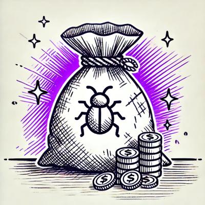
AI-generated slop reports are making bug bounty triage harder, wasting maintainer time, and straining trust in vulnerability disclosure programs.