Product
Introducing Webhook Events for Pull Request Scans
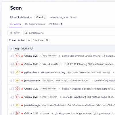
Add real-time Socket webhook events to your workflows to automatically receive pull request scan results and security alerts in real time.
@mapbox/vector-tile
Advanced tools
This library reads Mapbox Vector Tiles and allows access to the layers and features.
import {VectorTile} from '@mapbox/vector-tile';
import Protobuf from 'pbf';
const tile = new VectorTile(new Protobuf(data));
// Contains a map of all layers
tile.layers;
const landuse = tile.layers.landuse;
// Amount of features in this layer
landuse.length;
// Returns the first feature
landuse.feature(0);
Vector tiles contained in serialtiles-spec are gzip-encoded, so a complete example of parsing them with the native zlib module would be:
import {VectorTile} from '@mapbox/vector-tile';
import Protobuf from 'pbf';
import {gunzipSync} from 'zlib';

const buffer = gunzipSync(data);
const tile = new VectorTile(new Protobuf(buffer));
To install:
npm install @mapbox/vector-tile
An object that parses vector tile data and makes it readable.
layers property. Optionally accepts end index.{<name>: <layer>, ...},
where each layer is a VectorTileLayer object.An object that contains the data for a single vector tile layer.
Number, default: 1)String) — layer nameNumber, default: 4096) — tile extent sizeNumber) — number of features in the layerVectorTileFeature) by the given index from the layer.An object that contains the data for a single feature.
Number) — type of the feature (also see VectorTileFeature.types)Number) — feature extent sizeNumber) — feature identifier, if presentObject) — object literal with feature propertiesx and y properties)[x1, y1, x2, y2]x, y, and z refer to the containing tile's index.)geojson-vt is a library for slicing GeoJSON data into vector tiles on the fly in the browser or on the server. While it focuses more on creating vector tiles from GeoJSON data rather than parsing existing vector tiles, it can be used in conjunction with @mapbox/vector-tile for a complete solution for working with vector tiles.
tilelive is a library for working with tiles, including vector tiles, in Node.js. It provides a range of tools for reading, writing, and transforming tiles. While it offers broader functionality than @mapbox/vector-tile, it can be more complex to use for simple vector tile parsing tasks.
FAQs
Parses vector tiles
The npm package @mapbox/vector-tile receives a total of 1,347,197 weekly downloads. As such, @mapbox/vector-tile popularity was classified as popular.
We found that @mapbox/vector-tile demonstrated a healthy version release cadence and project activity because the last version was released less than a year ago. It has 28 open source maintainers collaborating on the project.
Did you know?

Socket for GitHub automatically highlights issues in each pull request and monitors the health of all your open source dependencies. Discover the contents of your packages and block harmful activity before you install or update your dependencies.

Product
Add real-time Socket webhook events to your workflows to automatically receive pull request scan results and security alerts in real time.

Research
The Socket Threat Research Team uncovered malicious NuGet packages typosquatting the popular Nethereum project to steal wallet keys.

Product
A single platform for static analysis, secrets detection, container scanning, and CVE checks—built on trusted open source tools, ready to run out of the box.