Research
Security News
Lazarus Strikes npm Again with New Wave of Malicious Packages
The Socket Research Team has discovered six new malicious npm packages linked to North Korea’s Lazarus Group, designed to steal credentials and deploy backdoors.
world-geojson
Advanced tools
GeoJson for all the countries, areas (regions) and some states.
This repository contains GeoJSON data for all the countries boundaries including boundaries for states of bigger countries (note that this repository is currently filling). Detalization is good for using this data on scales up to 1:10000000 / gmaps zoom 6-7 (it's the best quality in combination with free-to-use license). Data is created using geojson.io tool.

Contries boundaries besides mainlands include all the geographically separated, but de jure dependent, associated and managed territories. Separated mainland and all the territories mentioned are added in release 2. Countries states are to be added in release 3. More about countries boundaries release here.
Besides bigger countries which are to be splitted into states, some smaller are also worth to be splitted into geographical areas. More about additional area boundaries release here.
Countries split into areas are:
Glued borders between all countries so they perfectly align.
Was / Is:


Countries which we are going to provide state boundaries for:
Note that some states boundaries are provided by OSM, however quality of that data is much lower. It's planned to replace them with handmade ones eventually.
This library can be installed manually or via Composer or NPM (via GitHub Packages).
Via Composer:
"require": {
"georgique/world-geojson": "^2.3.2"
}
Via NPM:
  "dependencies": {
    "world-geojson": "^2.3.2",
  }
This library is my personal mini-project which I enjoy doing and I am happy if that is useful for anyone else. If you want to thank me, feel free to buy me a cup of coffee throug GitHub Sponsor program.
v3.0.0
FAQs
GeoJson for all the countries, areas (regions) and some states.
The npm package world-geojson receives a total of 519 weekly downloads. As such, world-geojson popularity was classified as not popular.
We found that world-geojson demonstrated a healthy version release cadence and project activity because the last version was released less than a year ago. It has 0 open source maintainers collaborating on the project.
Did you know?

Socket for GitHub automatically highlights issues in each pull request and monitors the health of all your open source dependencies. Discover the contents of your packages and block harmful activity before you install or update your dependencies.

Research
Security News
The Socket Research Team has discovered six new malicious npm packages linked to North Korea’s Lazarus Group, designed to steal credentials and deploy backdoors.

Security News
Socket CEO Feross Aboukhadijeh discusses the open web, open source security, and how Socket tackles software supply chain attacks on The Pair Program podcast.

Security News
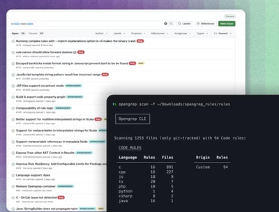
Opengrep continues building momentum with the alpha release of its Playground tool, demonstrating the project's rapid evolution just two months after its initial launch.