Xamarin.Google.Maps.Utils

This is a set of Xamarin bindings of Google Maps Utils for iOS and Android
This open-source library contains utilities that are useful for a wide range of applications using the Google Maps Android API and Google Maps SDK for iOS.
Table of Contents
Installation
The latest stable release of the AffirmSDK is available on NuGet.
Example
A demo app that integrates Affirm is included in the repo. You may clone the GitHub repository into a new Visual Studio project folder and run the Examples project.
Google Maps Utils Android
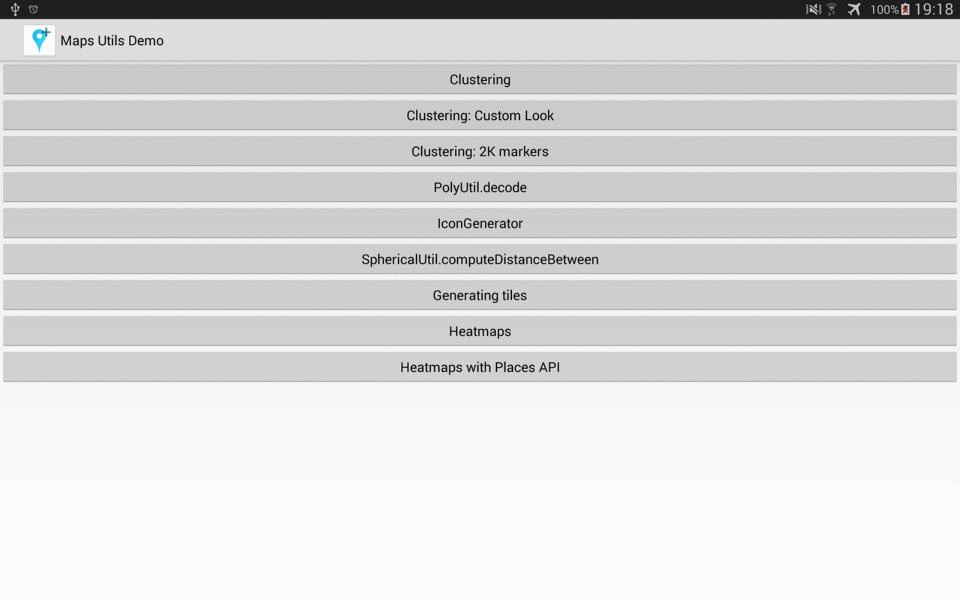
Usage Overview
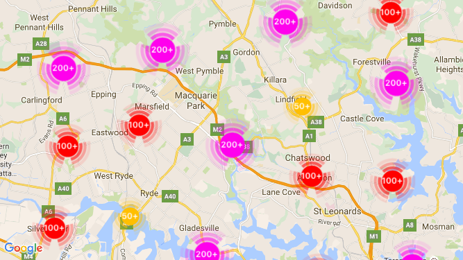
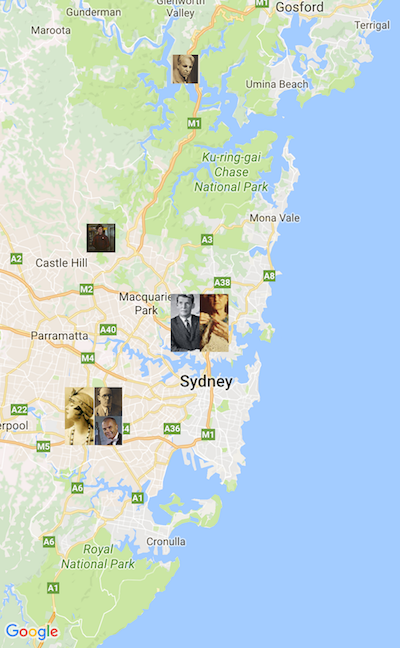
- Marker clustering — handles the display of a large number of points
- Heat maps — display a large number of points as a heat map
- IconGenerator — display text on your Markers
- Poly decoding and encoding — compact encoding for paths,
interoperability with Maps API web services
- Spherical geometry — for example: computeDistance, computeHeading,
computeArea
- KML — displays KML data
- GeoJSON — displays and styles GeoJSON data
For more information, check out the detailed guide on the Google Developers site. You can also view the generated reference docs for a full list of classes and their methods.
Google Maps Utils iOS
Usage Overview
- Marker clustering — handles the display of a large number of points
- Quadtree data structure - indexes 2D geometry points and performs
2D range queries
- Geometry libraries - KML and GeoJSON rendering
- Heatmaps - Heatmap rendering
Customize cluster and item markers
As of version 1.1.0 we have added new features for easy customization of markers. There is a new delegate GMUClusterRendererDelegate on GMUDefaultClusterRenderer which allows developers to customize properties of a marker before and after it is added to the map. Using this new delegate you can achieve something cool like this:
See CustomMarkerViewController for the implementation.
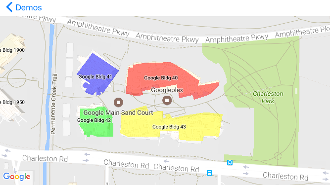
KML and GeoJSON rendering
As of version 2.0.0 we have added new features for rendering KML and GeoJSON inputs. This first version supports common geometries like Point, Polyline, Polygon, GroundOverlay. Please note that this version does not support interaction with the rendered geometries.
The following screenshot shows a demo of a KML file being rendered on the map. See KMLViewController for how to use the new APIs.
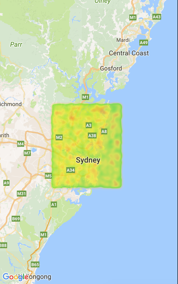
Heatmap rendering
As of version 2.1.0 we have added new features for rendering heatmaps.
Heatmaps make it easy for viewers to understand the distribution and relative intensity of data points on a map. Rather than placing a marker at each location, heatmaps use color to represent the distribution of the data.
In the example below, red represents areas of high concentration of police stations in Victoria, Australia.
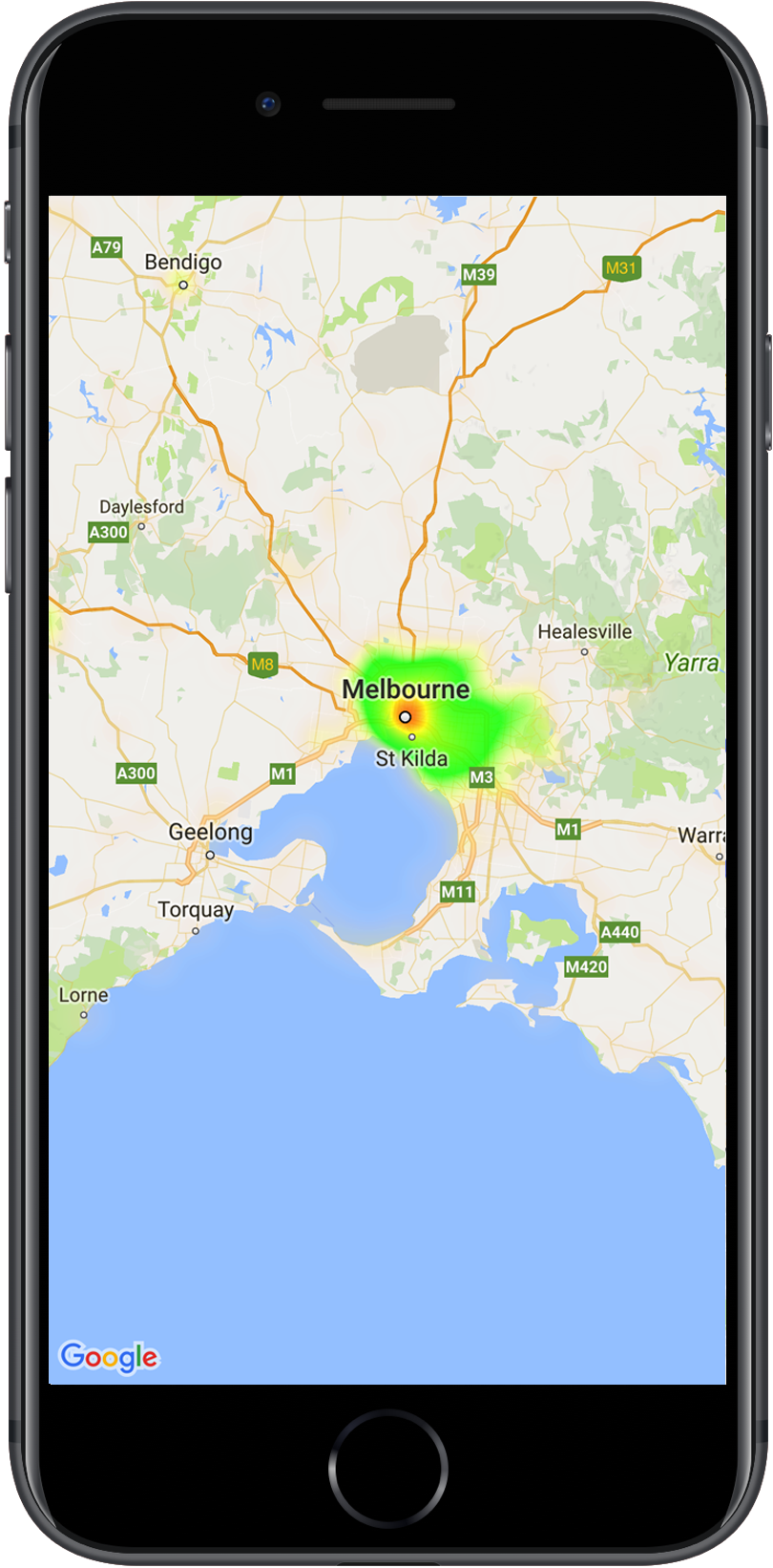
A map with a heatmap showing location of police stations
For more information, check out the detailed guide on the Google Developers site.