Product
Introducing Webhook Events for Alert Changes
Add real-time Socket webhook events to your workflows to automatically receive software supply chain alert changes in real time.
By Phil Gates-Idem - Nov 21, 2025
Node module for fetching, storing, and generating map tiles for use in Leaflet, Google maps, etc.
Fetching, storing, and generating map tiles for use in Leaflet, Google maps, etc.
npm install maptile
A couple of the math transforms were repurposed from Leaflet's source: https://github.com/Leaflet/Leaflet
You'll need to install Cairo for canvas support. Check out the instructions here, it's fairly simple: http://github.com/learnboost/node-canvas.
Here is some code for using this currently, make sure to check out the example.js file.
// Define the maptile object
var coolMap = new maptile.Map({
  path: __dirname + '/../public/tiles/some-map/{z}/{x}/{y}.png',
  builder: function(tile, next) {
    someKindaQuery.findWithinPoly(tile.getGeoJSONBounds(offset), function(err, points){
      tile.drawGeojson(points, {fillStyle: "rgba(165,46,25,0.8)"}, next)
    });
  }
})

// Get a map tile, in an express endpoint for example

var tileEndpoint = function(req, res){
  var coords = {
      x: parseInt(req.params.x)
    , y: parseInt(req.params.y)
    , z: parseInt(req.params.z)
  }

  coolMap.getTile(coords, function(err, buffer){
    res.send(buffer) // png buffer data
  })
}
FAQs
Node module for fetching, storing, and generating map tiles for use in Leaflet, Google maps, etc.
The npm package maptile receives a total of 1 weekly downloads. As such, maptile popularity was classified as not popular.
We found that maptile demonstrated a not healthy version release cadence and project activity because the last version was released a year ago. It has 1 open source maintainer collaborating on the project.
Did you know?

Socket for GitHub automatically highlights issues in each pull request and monitors the health of all your open source dependencies. Discover the contents of your packages and block harmful activity before you install or update your dependencies.
Product
Add real-time Socket webhook events to your workflows to automatically receive software supply chain alert changes in real time.
Security News
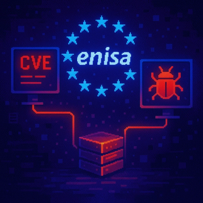
ENISA has become a CVE Program Root, giving the EU a central authority for coordinating vulnerability reporting, disclosure, and cross-border response.
Product
Socket now scans OpenVSX extensions, giving teams early detection of risky behaviors, hidden capabilities, and supply chain threats in developer tools.