Measurement Tool for Google Maps API V3
A handy measurement widget for Google Maps API v3. The functionalities are implemented as close as what current Google Maps offers.
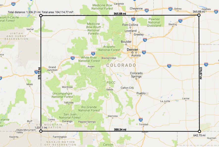
Demo
Visit demo page
Developer Usage
To create the measurement widget, pass in a MeasureTool Object Specification
var measureTool = new MeasureTool(map, {
showSegmentLength: true,
unit: MeasureTool.UnitTypeId.IMPERIAL
});
User Usage
To start measuring, right click a map and choose measure distance.
To end measuring, right click a map and choose clear measurement.
To add a way point, click on the map.
To remove a way point, click on the waypoint (the first point can not be removed).
To insert a way point, hover on the line and drag it.
When the first point and the last point are close enough, the area will show.
API
MeasureTool class
| Constructor | Description |
|---|
MeasureTool(map:google.maps.Map, opts?:MeasureToolOptions) | Creates a new measure tool for the google.maps.Map instance. |
| Properties | Description |
|---|
| area | Type: number - the total area of the enclosed polygon, the unit is m² for metric unit and ft² for imperial unit. |
| areaText | Type: string - the formatted total area with unit of the enclosed polygon. |
| length | Type: number - the total length of the path drawn, the unit is m for metric unit and ft for imperial unit. |
| lengthText | Type: string - the formatted total length with unit of the path drawn. |
| version | Type: string - the current version number of MeasureTool |
MeasureToolOptions object specification
| Properties | Description |
|---|
| showSegmentLength | Type: boolean - display segment length along the path. Enabled by default. |
| unit | Type: UnitTypeId - the unit type to use for the measured length and area. Defaults to MeasureTool.UnitTypeId.METRIC. |
UnitTypeId constants
Identifiers for common UnitType. Specify these by value, or by using the constant's name. For example, 'metric' or MeasureTool.UnitTypeId.METRIC.
| Constant | Description |
|---|
| IMPERIAL | This unit type shows measured length in US foot (ft) and mile (mi), and area in US square foot (ft²) and square mile (mi²). |
| METRIC | This unit type shows measured length in meter (m) and kilometer (km), and area in square meter (m²) and square kilometer (km²). |