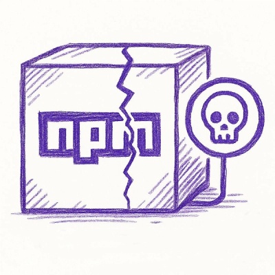
🚀 Big News: Socket Acquires Coana to Bring Reachability Analysis to Every Appsec Team.Learn more
Socket
Sign inDemoInstall
Socket

map-with-stats

Package Overview
Dependencies
Maintainers
1
Alerts
File Explorer

Advanced tools

Socket logo

Install Socket

Detect and block malicious and high-risk dependencies

Install

map-with-stats

Interactive map with a choropleth displaying some statistics as color per hectare

0.2.0
PyPI
Maintainers
1

Map with statistics

release @ PYPI python version platform CI status Docs status linter testing typing docs versioning code style: black documentation

The package allows to display an interactive map with a choropleth displaying some statistics as color per hectare (100x100 meter square).

Example map

!!! question "What is the use-case?"

  The typical use-case would be to visualise and do plausibility checks of hectare-level data
  as well as to compare statistics between geographic areas.

The package is created and tested to work for the Switzerland coordinates, however, one could try to use it for any other map with hectare statistics.

Read about usage in Quick start guide

FAQs

Did you know?

Socket

Socket for GitHub automatically highlights issues in each pull request and monitors the health of all your open source dependencies. Discover the contents of your packages and block harmful activity before you install or update your dependencies.

Install

Related posts