Security News
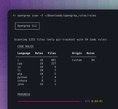
Opengrep Emerges as Open Source Alternative Amid Semgrep Licensing Controversy
Opengrep forks Semgrep to preserve open source SAST in response to controversial licensing changes.
mapbox-gl-draw-geodesic
Advanced tools
Geodesic tools plugin for Mapbox to draw geodesic lines, polygons and circles. Geodesic calculations are isolated inside the plugin, keeping your code abstracted away from the calculations.

Supported draw modes:
npm install mapbox-gl-draw-geodesic
or
<script src="https://unpkg.com/mapbox-gl-draw-geodesic@1.0.1/dist/mapbox-gl-draw-geodesic.min.js"></script>
This plugin modes inherits from original MapboxDraw modes, adding geodesic calculation prior rendering the map features. Use it as a drop-in replacement.
import MapboxDraw from 'mapbox-gl-draw';
import MapboxDrawGeodesic from 'mapbox-gl-draw-geodesic';

// original modes
const draw = new MapboxDraw({
  modes: MapboxDraw.modes
});

// geodesic modes
const draw = new MapboxDraw({
  modes: MapboxDrawGeodesic.modes
});
The usual MapboxDraw events are fired.
Circle GeoJSON format was chosen experimentally, so that it plays well with MapboxDraw internal architecture. Other formats were also considered. The current format is:
{
  type: 'Feature',
  properties: {
    circleRadius: radius // km
  },
  geometry: {
    type: 'Polygon',
    coordinates: [[center, center, center, center, center]] // four handles (NSEW)
  }
}
To future-proof your code from potential format changes, use exposed helper methods to work with circle GeoJSONs.
// create
const circle = MapboxDrawGeodesic.createCircle([0, 0], 100);
draw.add(circle);

// update
MapboxDrawGeodesic.setCircleCenter(circle, [10, 10]);
MapboxDrawGeodesic.setCircleRadius(circle, 200);
draw.add(circle);

map.on('draw.create', (event) => {
  const geojson = event.features[0];
  console.log('create', geojson);

  // read
  if (MapboxDrawGeodesic.isCircle(geojson)) {
    const center = MapboxDrawGeodesic.getCircleCenter(geojson);
    const radius = MapboxDrawGeodesic.getCircleRadius(geojson);
    console.log('circle', 'center', center, 'radius', radius);
  }
});
If you need to render geodesic map features, and you don't need to use the drawing capabilities, create MapboxDraw only with the static mode. Then you can add your features to the draw instance, to render them as geodesic.
const draw = new MapboxDraw({
  modes: {
    static: MapboxDrawGeodesic.modes.static
  }
});

draw.add({
  type: 'Feature',
  properties: {},
  geometry: {
    type: 'LineString',
    coordinates: [[-40, 37.5], [40, 37.5], [40, 30], [-40, -30], [-40, -37.5], [40, -37.5]]
  }
});
FAQs
Geodesic plugin for Mapbox GL Draw
The npm package mapbox-gl-draw-geodesic receives a total of 3,599 weekly downloads. As such, mapbox-gl-draw-geodesic popularity was classified as popular.
We found that mapbox-gl-draw-geodesic demonstrated a not healthy version release cadence and project activity because the last version was released a year ago. It has 1 open source maintainer collaborating on the project.
Did you know?

Socket for GitHub automatically highlights issues in each pull request and monitors the health of all your open source dependencies. Discover the contents of your packages and block harmful activity before you install or update your dependencies.

Security News
Opengrep forks Semgrep to preserve open source SAST in response to controversial licensing changes.

Security News
Critics call the Node.js EOL CVE a misuse of the system, sparking debate over CVE standards and the growing noise in vulnerability databases.

Security News
cURL and Go security teams are publicly rejecting CVSS as flawed for assessing vulnerabilities and are calling for more accurate, context-aware approaches.