New Case Study:See how Anthropic automated 95% of dependency reviews with Socket.Learn More
Socket
Sign inDemoInstall
Socket

@raruto/leaflet-elevation

Package Overview
Dependencies
Maintainers
1
Versions
165
Alerts
File Explorer

Advanced tools

Socket logo

Install Socket

Detect and block malicious and high-risk dependencies

Install

@raruto/leaflet-elevation

A Leaflet plugin that allows to add elevation profiles using d3js

  • 2.5.1
  • latest
  • Source
  • npm
  • Socket score

Version published
Weekly downloads
9.9K
decreased by-11.39%
Maintainers
1
Weekly downloads
 
Created
Source

leaflet-elevation.js

NPM version License

A Leaflet plugin that allows to add elevation profiles using d3js

Leaflet elevation viewer


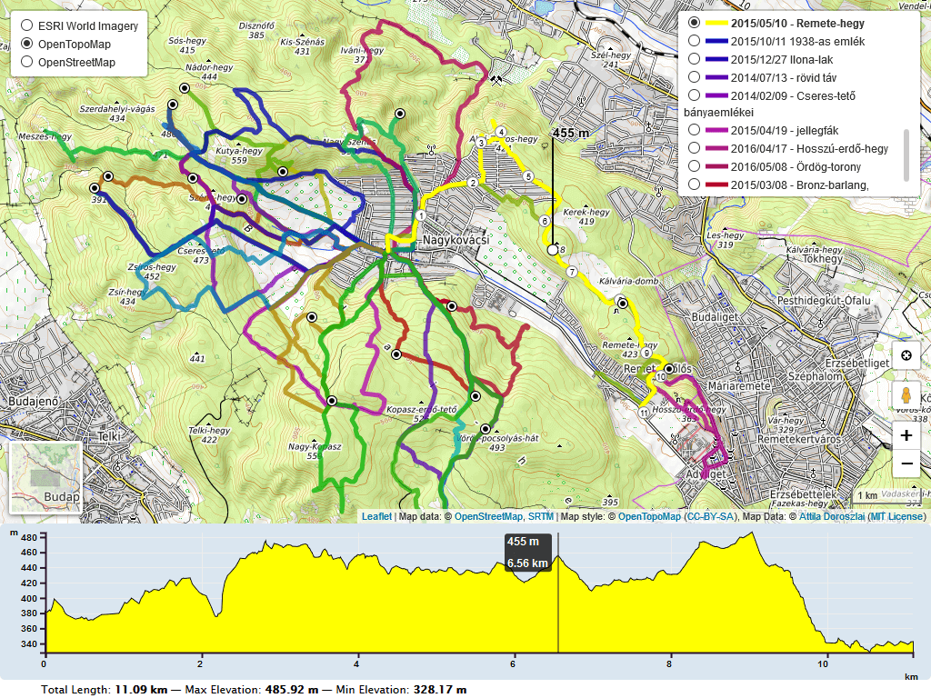
For a working example see one of the following demos:


Initially based on the work of Felix “MrMufflon” Bache


How to use

  1. include CSS & JavaScript
    <head>
    ...
    <style> html, body, #map, #elevation-div { height: 100%; width: 100%; padding: 0; margin: 0; } #map { height: 75%; } #elevation-div {	height: 25%; font: 12px/1.5 "Helvetica Neue", Arial, Helvetica, sans-serif; } </style>
    
    <!-- leaflet-ui -->
    <script src="https://unpkg.com/leaflet@1.7.1/dist/leaflet.js"></script>
    <script src="https://unpkg.com/leaflet-ui@0.6.0/dist/leaflet-ui.js"></script>
    
    <!-- leaflet-elevation -->
    <link rel="stylesheet" href="https://unpkg.com/@raruto/leaflet-elevation/dist/leaflet-elevation.css" />
    <script src="https://unpkg.com/@raruto/leaflet-elevation/dist/leaflet-elevation.js"></script>
    ...
    </head>
    
  2. choose the div container used for the slippy map
    <body>
    ...
    <div id="map"></div>
    ...
    </body>
    
  3. create your first simple “leaflet-elevation” slippy map
    <script>
      // Full list options at "leaflet-elevation.js"
      var elevation_options = {
    
        // Default chart colors: theme lime-theme, magenta-theme, ...
        theme: "lightblue-theme",
    
        // Chart container outside/inside map container
        detached: true,
    
        // if (detached), the elevation chart container
        elevationDiv: "#elevation-div",
    
        // if (!detached) autohide chart profile on chart mouseleave
        autohide: false,
    
        // if (!detached) initial state of chart profile control
        collapsed: false,
        
        // if (!detached) control position on one of map corners
        position: "topright",
        
        // Toggle close icon visibility
        closeBtn: true,
    
        // Autoupdate map center on chart mouseover.
        followMarker: true,
    
        // Autoupdate map bounds on chart update.
        autofitBounds: true,
    
        // Chart distance/elevation units.
        imperial: false,
    
        // [Lat, Long] vs [Long, Lat] points. (leaflet default: [Lat, Long])
        reverseCoords: false,
    
        // Acceleration chart profile: true || "summary" || "disabled" || false
        acceleration: false,
    
        // Slope chart profile: true || "summary" || "disabled" || false
        slope: false,
    
        // Speed chart profile: true || "summary" || "disabled" || false
        speed: false,
    
        // Altitude chart profile: true || "summary" || "disabled" || false
        altitude: true,
    
        // Display time info: true || "summary" || false
        time: true,
    
        // Display distance info: true || "summary" || false
        distance: true,
    
        // Summary track info style: "inline" || "multiline" || false
        summary: 'multiline',
    
        // Download link: "link" || false || "modal"
        downloadLink: 'link',
    
        // Toggle chart ruler filter
        ruler: true,
    
        // Toggle chart legend filter
        legend: true,
    
        // Toggle "leaflet-almostover" integration
        almostOver: true,
    
        // Toggle "leaflet-distance-markers" integration
        distanceMarkers: false,
    
        // Toggle "leaflet-edgescale" integration
        edgeScale: false,
        
        // Toggle "leaflet-hotline" integration
        hotline: true,
    
        // Display track datetimes: true || false
        timestamps: false,
    
        // Display track waypoints: true || "markers" || "dots" || false
        waypoints: true,
    
        // Toggle custom waypoint icons: true || { associative array of <sym> tags } || false
        wptIcons: {
          '': L.divIcon({
            className: 'elevation-waypoint-marker',
            html: '<i class="elevation-waypoint-icon"></i>',
            iconSize: [30, 30],
            iconAnchor: [8, 30],
          }),
        },
    
        // Toggle waypoint labels: true || "markers" || "dots" || false
        wptLabels: true,
    
        // Render chart profiles as Canvas or SVG Paths
        preferCanvas: true,
    
      };
    
      // Instantiate map (leaflet-ui).
      var map = L.map('map', { mapTypeId: 'terrain', center: [41.4583, 12.7059], zoom: 5 });
    
      // Instantiate elevation control.
      var controlElevation = L.control.elevation(elevation_options).addTo(map);
    
      // Load track from url (allowed data types: "*.geojson", "*.gpx", "*.tcx")
      controlElevation.load("https://raruto.github.io/leaflet-elevation/examples/via-emilia.gpx");
    
    </script>
    

Build Guide

Within your local development environment:

git clone git@github.com:Raruto/leaflet-elevation.git
cd ./leaflet-elevation

npm i         # install dependencies
npm run dev   # start dev server at: http://localhost:8080
npm run build # generate "dist" files (once)
npm run test  # test all "*.spec.js" files (once)

After that you can start developing inside the src and test folders (eg. open "http://localhost:8080/test" in your browser to preview changes). Check also CONTRIBUTING.md file for some information about it.

FAQ

1. How can I change the color of the elevation plot?

There are multiple options to achieve this:

  • You could either use some default presets (see: theme: "lightblue-theme" option in readme file and the following file leaflet-elevation.css for some other default "*-theme" names).
  • check out this example
  • Or add the following lines for custom colors.
.elevation-control .area {
    fill: red;
}
.elevation-control .background {
    background-color: white;
2. How to enable/disable the leaflet user interface customizations?

These customizations are actually part of the leaflet-ui and can be toggled on/off using e.g. the following options:

var map = L.map('map', {
    center: [41.4583, 12.7059],  // needs value to initialize
    zoom: 5,                     // needs value to initialize
    mapTypeId: 'topo',
    mapTypeIds: ['osm', 'terrain', 'satellite', 'topo'],
    gestureHandling: false,     // zoom with Cmd + Scroll
    zoomControl: true,          // plus minus buttons
    pegmanControl: false,
    locateControl: false,
    fullscreenControl: true,
    layersControl: true,
    minimapControl: false,
    editInOSMControl: false,
    loadingControl: false,
    searchControl: false,
    disableDefaultUI: false,
    printControl: false,
});
3. How can I import this library as ES module?

Usually, when working with a js bundler like Vite or Webpack, you need to provide to this library the full path to some dynamically imported files from the srcFolder:

import './your-custom-style.css';
import 'leaflet/dist/leaflet.css';
import L from 'leaflet';
import '@raruto/leaflet-elevation/src/index.js';
import '@raruto/leaflet-elevation/src/index.css';

const map = L.map('map', {
    center: [41.4583, 12.7059]
    zoom: 5,
});

const controlElevation = L.control.elevation({
    // CHANGE ME: with your own http server folder (eg. "http://custom-server/public/path/to/leaflet-elevation/src/")
    srcFolder: 'http://unpkg.com/@raruto/leaflet-elevation/src/'
}).addTo(map);

// Load track from url (allowed data types: "*.geojson", "*.gpx", "*.tcx")
controlElevation.load("https://raruto.github.io/leaflet-elevation/examples/via-emilia.gpx");
4. Some real world projects based on this plugin?

Related: Leaflet-UI presets, QGIS Integration

Changelog

All notable changes to this project are documented in the releases page.


Compatibile with: Leaflet 1.x compatible! d3.js v7 compatibile! @tmcw/togeojson v5 compatibile!


Contributors: MrMufflon, HostedDinner, ADoroszlai, Raruto


License: GPL-3.0+

Keywords

FAQs

Package last updated on 02 Nov 2023

Did you know?

Socket

Socket for GitHub automatically highlights issues in each pull request and monitors the health of all your open source dependencies. Discover the contents of your packages and block harmful activity before you install or update your dependencies.

Install

Related posts

SocketSocket SOC 2 Logo

Product

  • Package Alerts
  • Integrations
  • Docs
  • Pricing
  • FAQ
  • Roadmap
  • Changelog

Packages

npm

Stay in touch

Get open source security insights delivered straight into your inbox.


  • Terms
  • Privacy
  • Security

Made with ⚡️ by Socket Inc