pydeck: Large-scale interactive data visualization in Python
The pydeck library is a set of Python bindings for making spatial visualizations with deck.gl,
optimized for a Jupyter environment. To get started, see the documentation.
To install pydeck, see the instructions here.
For interactive demos, click the binder logo below:

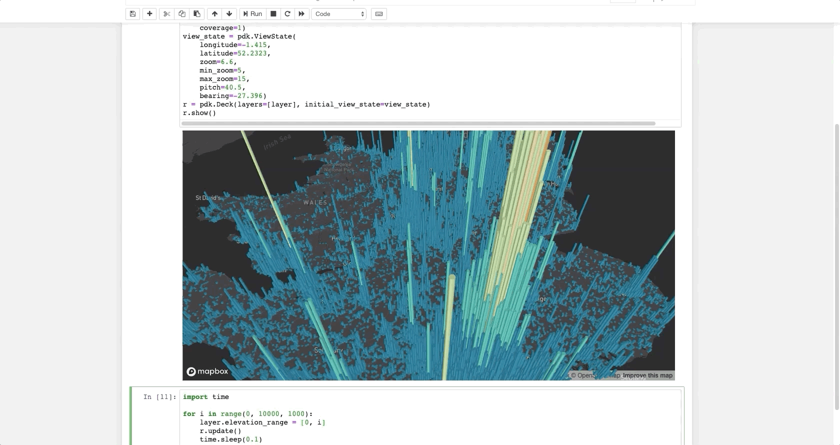
Sample code
The following code renders a visualization similar to the one above in a Jupyter notebook:
import pydeck as pdk
UK_ACCIDENTS_DATA = ('https://raw.githubusercontent.com/uber-common/'
'deck.gl-data/master/examples/3d-heatmap/heatmap-data.csv')
layer = pdk.Layer(
'HexagonLayer',
UK_ACCIDENTS_DATA,
get_position=['lng', 'lat'],
auto_highlight=True,
elevation_scale=50,
pickable=True,
elevation_range=[0, 3000],
extruded=True,
coverage=1)
view_state = pdk.ViewState(
longitude=-1.415,
latitude=52.2323,
zoom=6,
min_zoom=5,
max_zoom=15,
pitch=40.5,
bearing=-27.36)
r = pdk.Deck(layers=[layer], initial_view_state=view_state)
r.to_html('demo.html')
If you're developing outside a Jupyter environment, you can run:
r.to_html('demo.html', notebook_display=False)
See the gallery for more examples.
Issues and contributing
If you encounter an issue, file it in the deck.gl issues page
and include your browser's console output, if any.
If you'd like to contribute to pydeck, please follow the deck.gl contribution guidelines
and the pydeck development installation instructions.